How we continue to improve Cycling Guide’s low-stress routes
It was David Trueman, now Chair of Cycling Guide Foundation, who initially advocated back in 2021 for the Cycling Guide mobile app to use OpenStreetMap (OSM) as a data source. One of the reasons is that we can update OSM data as new cycling infrastructure opens in the real world or as we discover issues in its data. Here’s how data-related improvements to our routing happen.
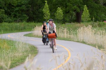
A big part of our testing early on was riding our bikes and experiencing Cycling Guide routes directly ourselves. That doesn’t scale, though, and we invited other people to get early access to Cycling Guide in order to test it and provide feedback. That testing was a great success. It’s especially effective in revealing issues in our routes. Here’s an example of feedback that we received from one of our early access testers last summer:
“King St between Marshall and Regina is finished construction and has above grade bike lanes that are pretty good although you have to be cautious of pedestrians and parked vehicles. Routes are avoiding that section and taking inferior streets.”
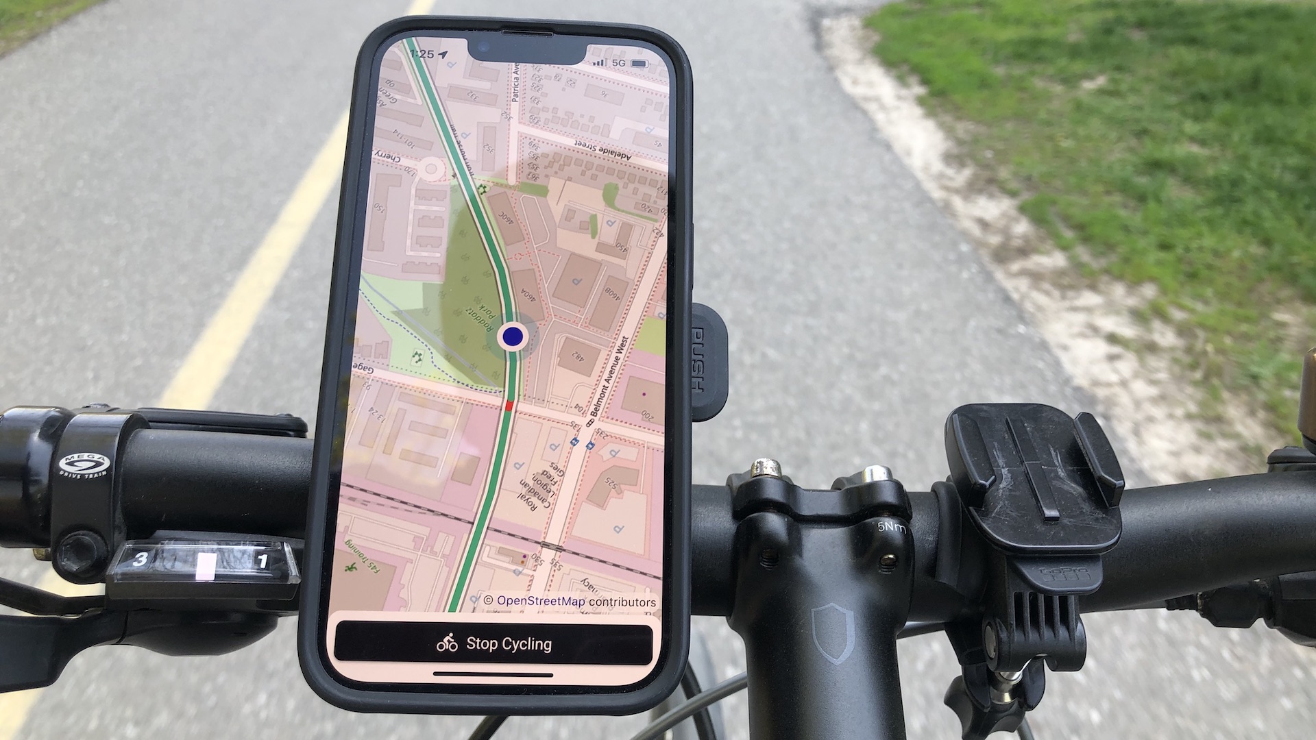
I’d been watching King Street North in Waterloo over the summer wondering when the opening would happen, and hadn’t realized that it had. Neither had David. He checked OSM and saw that there was nothing in its data yet about the new north-bound and south-bound cycleways. It was time for a quick reconnaissance trip. I cycled over to King Street South and Willis Way, and from there headed north on the dedicated cycleway. And as reported by our Cycling Guide tester, the new section was now open and I was able to ride all the way to University Avenue.
Having confirmed the physical state of this bit of the world, I let David know. He made an update in OSM and, after review by other OSM contributors, the new cycleways were automatically used for Cycling Guide routes and maps.
But updates to OSM aren’t the only way that we improve our cycling routes. We had multiple early testers let us know about rough trails that aren’t really suitable for many cyclists. They’re not appropriate for cargo bikes, or bikes pulling trailers, or simply just for less-experienced or less-confident cyclists. Here’s one report:
“Route did not suggest going directly down Doon South but rather to take a trail just after Winding Wood Cres. The trail had an intense, steep hill that would be challenging for most cyclists.”
To address this recurring issue, we spent a lot of time refining the way that we process OSM data for use in our routing. As a result, Cycling Guide is much better at avoiding more and more of these kinds of rough trails. As I’ve mentioned previously, reports of real-world experiences from our group of early testers was a big part of making sure that Cycling Guide routes are as good as they can be.
Here’s part of another early example of a routing challenge that was quite tricky to diagnose, but simple to resolve:
“I’m surprised that it didn’t suggest using the bike paths north of University Ave (near MacGregor Cres.) since that route takes about half the time and has less interaction with cars. I’m wondering if this route was intentionally avoided or if those paths just aren’t included in the map.”
The routes that Cycling Guide provided in this case were far more indirect than they should have been, and it wasn’t at all clear why. This one was trickier to track down, but it eventually turned out that in the OSM data one short segment of the Laurel/Forwell Trails didn’t explicitly allow bikes, while all the other segments do. That segment prevented Cycling Guide from using those parts of the trails. This feedback resulted in another quick OSM update by David that resulted in Cycling Guide routing on that trail when appropriate.
This spring and summer, new cycling infrastructure has opened across Waterloo Region and people using Cycling Guide have been great at letting us know about it. Even better, it’s a great excuse for me to do more reconnaissance rides to confirm new infrastructure before David updates OSM. And getting these updates done is important, because if people don’t know about infrastructure they won’t use it.Engaging with people who joined our early access to Cycling Guide group was a great success. And the feedback that has come in since Cycling Guide appeared in the App Store and Google Play back in May continues to help us improve the cycling experience. Sometimes the problems people have reported have fixes that apply more broadly because of improvements in how we process OSM data. Sometimes the fixes are to OSM data itself. In all cases, though, the result is better cycling routes for everyone.