Why Does Cycling Guide Use OpenStreetMap?
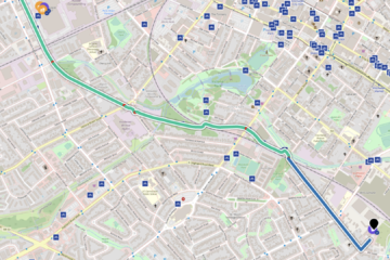
OSM is well aligned with one of the goals of Cycling Guide Foundation: to provide a hyperlocal resource for anyone who would like to find their way on a bicycle, no matter what their experience or confidence level. And as we tune Cycling Guide’s handling of the OSM data, the app is generating fantastic routes that, wherever possible, avoid the need to travel with heavy traffic.

