Why Does Cycling Guide Use OpenStreetMap?
I want to tell you more about how the Cycling Guide mobile app is built atop OpenStreetMap (OSM). First of all, what is OpenStreetMap?
OSM is a map of the world, created and maintained by volunteers and free to use under an open license. OSM provides map data for thousands of websites, mobile apps, and hardware devices. Virtually every online map that you see, other than Google, is based at least in part on OSM. That includes TomTom, Microsoft, Apple, and Facebook.
OSM is the Wikipedia of map data. Not only is it free to use but any member of the public is able to create an account for free to update it to add to or correct local information.
People for Bikes does an annual rating of how bicycle-friendly cities in North America are. Their ratings are largely based on an analysis of the OSM data for each city. More accurate city ratings are a wonderful side effect of improving OSM data for cycling.
OSM is well aligned with one of the goals of Cycling Guide Foundation: to provide a hyperlocal resource for anyone who would like to find their way on a bicycle, no matter what their experience or confidence level.
Open data, open source software, open knowledge and OpenStreetMap share a common theme: we can and should all benefit from community efforts rather than having the fruit of those efforts locked up for private benefit. If knowledge of prior intellectuals had not been openly available, Isaac Newton would not have been able to declare in a 1675 letter: “if I have seen further [than others], it is by standing on the shoulders of giants.”
So, that’s all the theory. How is OSM working out in practice?
First of all, the map data in OSM is remarkably complete and accurate (although not perfect!) This means that, as we tune Cycling Guide’s handling of the OSM data, the app is generating fantastic routes that, wherever possible, avoid the need to travel with heavy traffic.
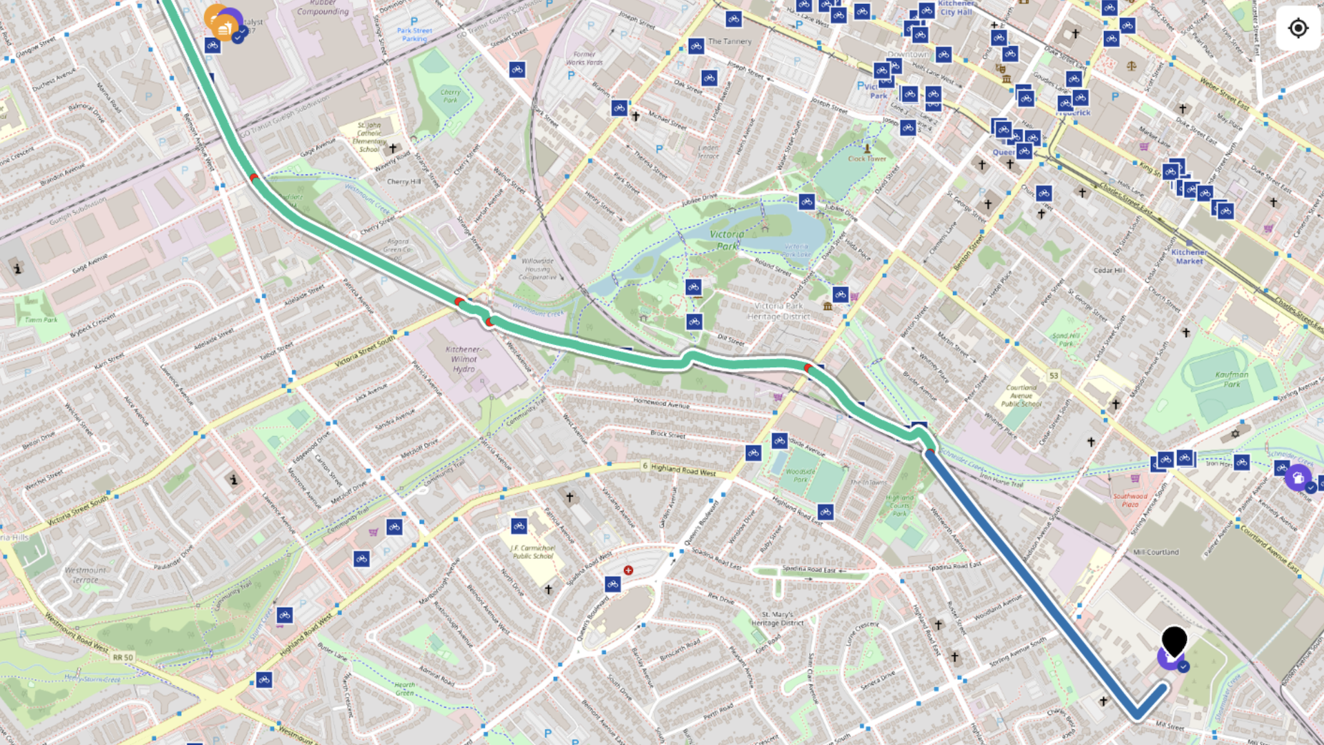
Because Cycling Guide volunteers can directly change the OSM data, we are able to add new cycling facilities right away. We observed this directly last summer with the new Farmer’s Market Trail in Waterloo Region. On the day the trail officially opened, Cycling Guide was already generating routes that use it — long before the apps from big companies which don’t have this tight local connection.
More often we are able to fix small inaccuracies quickly. Just the other day I was using Cycling Guide and noticed it was directing me to ride on the sidewalk on a quiet local street. It turns out that the OSM data for that sidewalk was wrong and I was able to correct it the same day.
Feedback from users is prominently featured in Cycling Guide, and our intention is that when users report less than optimal routing, we will be able to make corrections in a timely way and demonstrate results
Like Wikipedia, we have the benefit of peer review to ensure accuracy and consistency. On more than one occasion I have made a small error in my OSM changes and other local OSM editors have been quick to point out the error so I can correct it. When you download and use Cycling Guide, now you’ll know that you will be standing (riding?) on the shoulders of giants.